Where Is Moab, Utah?
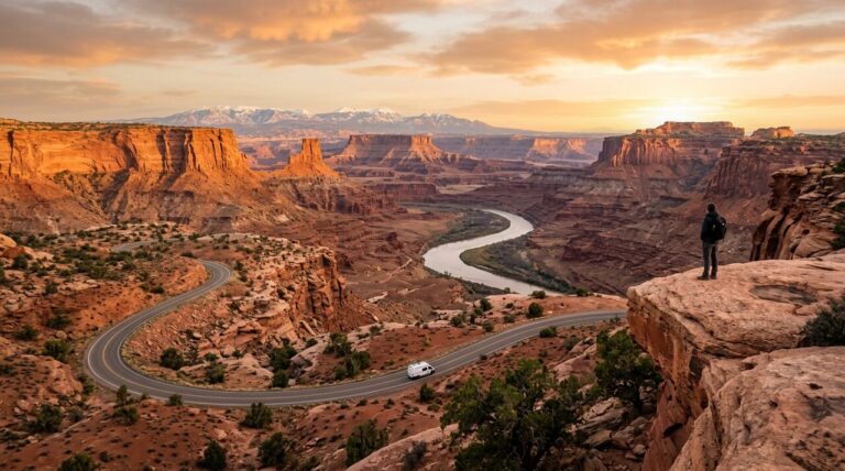
Moab sits in the far southeastern corner of Utah, in Grand County, on US-191 between Arches and Canyonlands National Parks — about 230 miles (a 4-hour drive) southeast of Salt Lake City and just 18 miles west of the Colorado state line. It’s tucked along the Colorado River on the Colorado Plateau at 4,025 feet of elevation, which makes it the only town in Utah that actually sits on the Colorado River. If you’re picturing it near Zion and Bryce in the southwest, you’re looking at the wrong side of the state.
The basics: county, river, and elevation
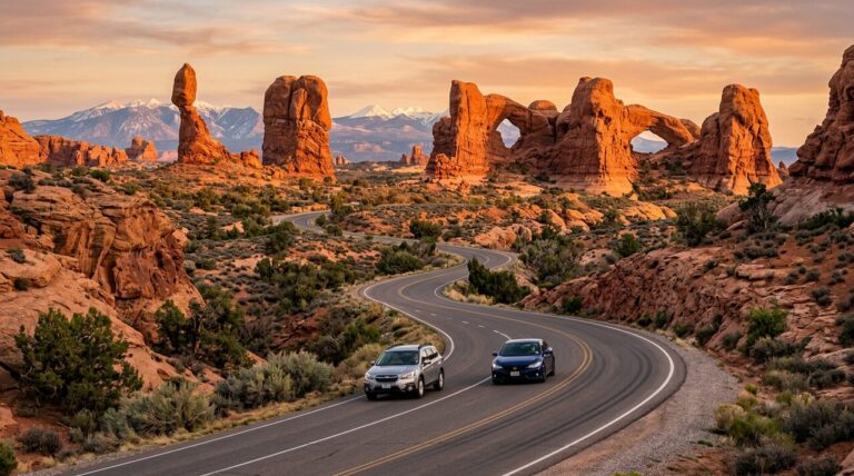
Moab is the county seat and largest town of Grand County, Utah’s gateway to red-rock country in the state’s southeastern reaches. It rests just south of the Colorado River at 4,025 feet on the Colorado Plateau, hemmed in by sandstone cliffs and the river canyon. The town itself is small — roughly 5,400 residents — but it’s the supply hub for two national parks, so it punches far above its size in hotels, outfitters, and restaurants. There’s no interstate through Moab; the lifeline is US-191, the two-lane highway that runs north-south through the middle of town.
How to place it on the map
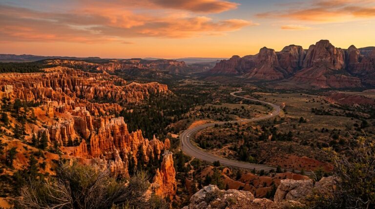
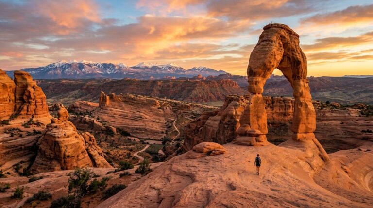
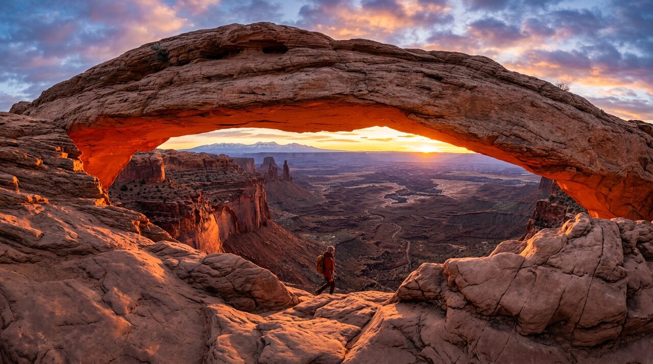
From Salt Lake City, Moab is about 230 miles southeast — roughly a 4-hour drive via I-15 south, US-6 east, and US-191 south. From Grand Junction, Colorado, it’s only about 114 miles (a 2-hour drive), which is why many visitors fly into Grand Junction rather than Salt Lake. The Utah-Colorado border sits just 18 miles east of town. Arches National Park’s entrance is about 5 miles — five minutes — north of downtown, and the Island in the Sky district of Canyonlands is roughly 40 minutes southwest. Dead Horse Point State Park is between them.
What most people get wrong
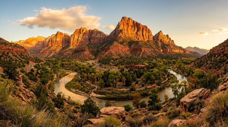
The biggest misconception is lumping Moab in with Zion and Bryce as part of one tidy “southern Utah parks” loop. It isn’t. Moab is in the southeast, on the opposite side of the state from the southwestern parks — Zion is roughly 5.5 to 6 hours away by car, not a casual side trip. The classic Mighty 5 road trip works because you cross the whole state, but people who assume Moab is “right next to Zion” badly underestimate the drive. Treat Moab as its own anchor for Arches and Canyonlands, paired more naturally with Grand Junction, Colorado, than with the southwest corner.
Where to stay: Moab is the basecamp for Arches and Canyonlands — book a hotel or rental in town and you are minutes from both park entrances. Compare live rates across Moab:
Frequently asked questions
Renting a car? Most Utah parks trips start in Salt Lake City or Las Vegas — compare prices across every major rental company:
What part of Utah is Moab in?
Moab is in the southeastern corner of Utah, in Grand County, about 18 miles west of the Colorado state line and roughly 230 miles southeast of Salt Lake City.
What national parks is Moab near?
Moab is the gateway town for Arches National Park (about 5 miles north) and Canyonlands National Park (the Island in the Sky entrance is about 40 minutes southwest). Dead Horse Point State Park sits between them.
What is the closest big city to Moab?
Grand Junction, Colorado, is the closest sizable city — about 114 miles and a 2-hour drive away. Salt Lake City is farther, about 230 miles and roughly 4 hours by car.
What river is Moab on?
Moab sits just south of the Colorado River, making it the only community in Utah located directly on the Colorado River.
How high is Moab in elevation?
Moab’s town elevation is about 4,025 feet (1,227 meters), set on the Colorado Plateau, with surrounding cliffs and mesas rising well above that.
Keep planning your trip: 7-Day Utah Road Trip